Road Companion
Sabiha Gökçen to the Asian side
There is no bridge on this journey. Sabiha Gökçen is already on the Asian side, and the road runs from Istanbul's eastern industrial belt down to the Marmara shore and into the city's oldest line of settlement. In forty minutes, manufacturing, finance and the sea pass the window in turn.
- Journey time
- 55 min
- Narrations
- 5
What you will see on this journey
What you will see on this journey
01Kurtköy, and the airport's name
minute 6The airport takes its name from Sabiha Gökçen: Atatürk's adopted daughter and Turkey's first woman combat pilot. The area you enter on leaving is Kurtköy, the start of Istanbul's eastern industrial belt. The factories and logistics depots here are no accident: port, motorway and railway all run through this narrow strip. A few kilometres on, Pendik is the Istanbul end of the high-speed line towards Ankara. So these first minutes are not scenery but the knot in the country's freight network.
02The D-100 and the reclaimed shore
minute 18The car is now on the D-100, the road still known by its old name, the E-5. It is the spine of the Asian side, drawn in the years Istanbul grew around the car. The wide green strip between road and sea on your right is not natural: the Kartal and Maltepe shores were reclaimed from the water and turned into parkland. It is a characteristic Istanbul move — where the city cannot reach the water, it pushes the water back. The dense housing on the slopes behind you is the work of the years after 1980.
03The Ataşehir tower line
minute 30The glass towers rising suddenly on your left are Ataşehir. This entire skyline is less than thirty years old: in the 1990s this was largely empty ground. The newest cluster among the towers is the Istanbul Finance Centre, to which the central bank and the large state banks have moved. The spread of the city's business district from Levent and Maslak on the European side across to the Asian one is the most concrete sign of Istanbul's claim to be a two-shore city. Most passengers coming here are not tourists but people heading to meetings.
04Bostancı and the islands offshore
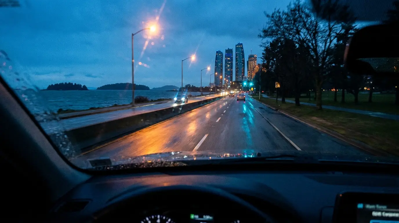
minute 42As the road drops to the shore, open water appears on your right with four islands on it: Büyükada, Heybeliada, Burgazada and Kınalıada. In Byzantine times these were places of exile, where deposed emperors and fallen clerics were sent. Today the islands have no motor traffic and are reached only by ferry; the Bostancı pier is the main departure point for those ferries on the Asian side. Running parallel behind the road, Bağdat Avenue is an unbroken line of shops for ten kilometres.
05Arriving in Kadıköy
minute 52Kadıköy is the oldest settlement in Istanbul, some twenty years older than the city itself. Its ancient name was Chalcedon. Legend has it that the oracle told the founders of Byzantion to settle opposite the land of the blind: the blind being those who had settled here without seeing the obvious superiority of the shore across the water. The large stone building appearing on your left as you near the water is Haydarpaşa Station, built in 1908 as the Istanbul end of the Baghdad Railway. Driving inside the market area is very slow and parking is almost non-existent; your driver stops on Rıhtım Avenue or at the entrance to Bahariye.
Read-aloud currently uses your phone's speech synthesis. Studio-recorded narration will be introduced at the production stage.
Applies on this route
Popular routes
Three ideas for tomorrow
If what you saw on this route interested you, you can hire the same car and driver for a day. On an eight-hour hire the order of the city is yours to set.
Book your transfer
See your price now
See your price, enter your flight number and complete the booking. Your confirmation arrives with the driver's details.
- Confirmation time
- 15 dakika
- Service hours
- 7/24